Export Mapped boundaries, imagery, and data from Surety® and Surety® Pro

Export Boundaries
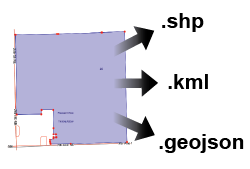
Borders, either manually drawn or by selecting a specific layer, may be exported as an ESRI® based shapefile or Google® based KML format. These files will include attributes such as fieldname, farm name, and acres when applicable.

Export Client and Form Data
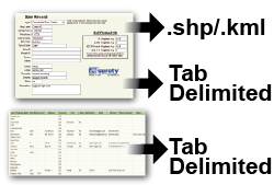
Surety® Pro's Form Manager enables the export of the saved borders and form data (such as work orders, sales data, invoices) as a tab delimited text file or an ESRI shapefile. Surety® and Surety® Pro also provide the tools to generate the created Client list as a tab delimited text file download.

Export Imagery
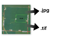
Two options for image export of the current map view exist in Surety® and Surety® Pro. The GeoTiff option allows download of a zip file that includes the geotiff image file, world file and projection file. The geotiff is UTM NAD 83 projected with the UTM zone based on map location. The Georeferenced Jpeg export option allows download of a zip file that includes the jpeg image file, world file and projection file. The georeferenced jpeg is UTM NAD 83 projected with the UTM zone based on map location.

Export Satloc & AgPilotX Files
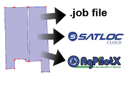
Easily export one or more boundaries as a .job and .geoJSON filetypes. These are specific formats used within Satloc® and AgPilotX guidance systems. These files can be downloaded to a usb device or transferred wirelessly to a connected Satloc Cloud or AgHippo account.